Children often learn the names of countries before they understand what a continent is.
They might know that Spain is a country they have visited, that England is where they live, or that Australia is on the other side of the world. But if you ask which continent those places are in, they may not be sure.
This is completely normal. They are abstract ideas that children cannot easily see or experience directly, and they can be difficult for children to picture. The difference between a country, a continent and the whole world is not always obvious when children are first learning geography.
This guide is for parents and teachers who want a simple, practical way to explain continents to children.
Quick answer
A continent is one of the very large areas of land that the world is divided into. Most children are taught that there are seven continents: Africa, Antarctica, Asia, Europe, North America, South America and Australia or Oceania. The easiest way to explain continents to children is to show them that continents are bigger than countries and are made up of many different places.
Why children find continents tricky
For adults, continents feel obvious because we’ve seen them on maps for years. For children, they’re not obvious at all.
A child may be able to understand:
-
my house
-
my town or city
-
my country
-
the world
But a continent sits somewhere in the middle. It’s bigger than a country, but smaller than the whole world. That can be hard to picture.
Children also hear lots of geography words close together:
-
town
-
city
-
county
-
country
-
continent
-
ocean
-
planet
If those words are introduced too quickly, children may start using them interchangeably. A child might say “Africa is a country” or “London is a continent”, not because they’re being careless, but because the categories haven’t clicked yet.
Start with the child’s own place in the world
The clearest way to explain continents is to start small and zoom out.
You might say:
“You live in a home. Your home is in a town or city. Your town or city is in a country. Your country is in a continent. Your continent is on the planet Earth.”
That simple zooming-out idea helps children build a mental ladder.
For example, a child in England might learn:
Home
Town or city
England
United Kingdom
Europe
Earth
You don’t need to explain every political detail straight away. The first goal is simply to help children understand that places can sit inside bigger places.
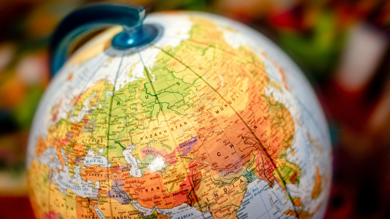
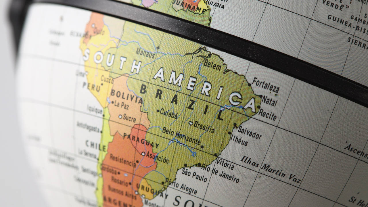
Use maps, globes and repeated pointing
Continents make much more sense when children can see them.
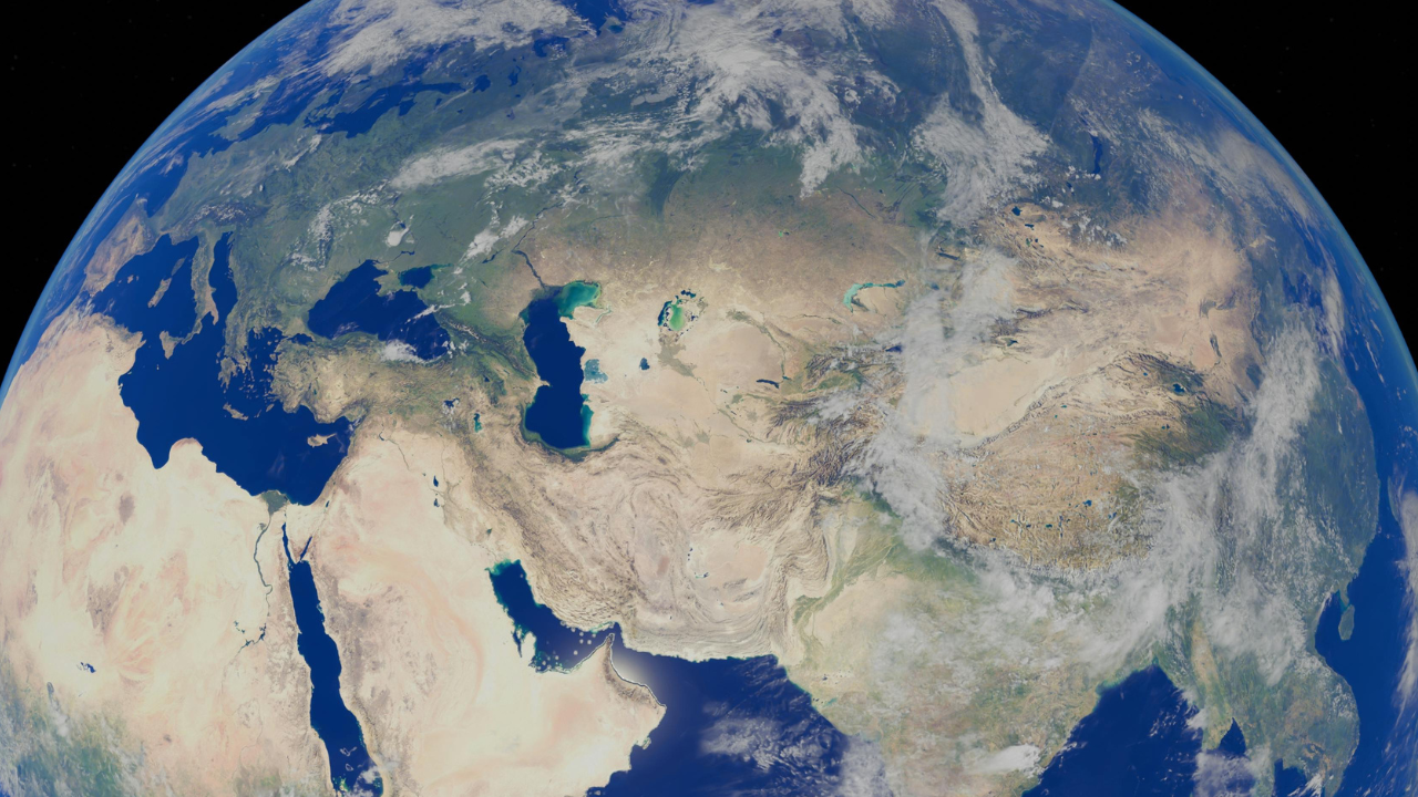
A flat world map is useful because children can see all the continents at once. A globe is useful because it shows that Earth is round and that places connect in a different way from a flat map.
When using a map, keep the language simple:
“Here is Africa. It’s a continent.”
“Here is Kenya. Kenya is a country in Africa.”
“Here is Europe. It’s a continent.”
“Here is France. France is a country in Europe.”
The repeated pattern matters. Children need to hear the same structure several times before they can use it confidently themselves.
A simple way to explain continent, country and city
One of the most common geography mix-ups is the difference between a continent, country and city.
A helpful explanation is:
A continent is a very large area of land.
A country is a place with its own government, borders and often its own laws.
A city is a large settlement where many people live and work.
You can make this more concrete with examples:
-
Europe is a continent.
-
France is a country in Europe.
-
Paris is a city in France.
Then repeat with a different example:
-
Africa is a continent.
-
Egypt is a country in Africa.
-
Cairo is a city in Egypt.
Once children can say those three levels out loud, the idea becomes much easier to remember.
The seven continents children usually learn
Most primary and elementary geography resources teach children the seven-continent model:
-
Africa
-
Antarctica
-
Asia
-
Europe
-
North America
-
South America
-
Australia or Oceania
The last one can cause a little confusion because different schools and resources may use Australia, Australasia or Oceania. For younger children, it’s usually enough to follow the wording used by the school or resource they’re using.
You can say:
“Some maps say Australia and some say Oceania. Your school might use one of those names. The important thing is that we know it is the continent area that includes Australia and nearby islands.”
That avoids turning a simple geography lesson into a technical debate.
What children need to understand first
Before children memorise every continent, they need a few simple ideas to stick.
They need to understand that:
-
continents are large land areas
-
countries are smaller than continents
-
many countries can be in one continent
-
oceans are the large areas of water between continents
-
maps are drawings that help us find places
This is why a continent song or memory activity works best when it’s paired with map work. A child may be able to sing all seven continents, but still not know what a continent actually is. The song helps with recall. The map helps with meaning.
Common misconceptions about continents
Children’s misunderstandings are often very logical once you hear them.
“Africa is a country”
This is probably the most common one. Children often hear country names and continent names mixed together, so they assume they are the same kind of place.
A simple correction is:
“Africa is a continent. It has lots of countries in it, like Egypt, Kenya, Nigeria and South Africa.”
“The United Kingdom is a continent”
This usually happens when children are still sorting out place size. They know the UK is bigger than a town or city, so they may guess it belongs in the biggest category they know.
You can say:
“The United Kingdom is a country. It is in the continent of Europe.”
“Antarctica is just ice, so it doesn’t count”
Antarctica can feel different because it doesn’t have cities and countries in the same familiar way. But it is still one of the continents children usually learn.
You can explain:
“Antarctica is a continent because it is a huge land area. It is covered by ice, but there is land underneath.”
“Continents are all the same size”
Children often assume categories are neat and equal. A map helps show that continents are very different sizes. Asia is huge. Australia or Oceania is much smaller. Antarctica looks different depending on the map projection being used.
You don’t need to go deep into map projections with younger children, but it’s useful to say:
“Maps help us, but they don’t always show size perfectly.”

What to avoid when teaching continents
Try not to start with too much information at once. Continents can easily turn into a long list of names, flags, countries, landmarks and capital cities.
It’s better to build the idea gradually.
Avoid:
-
asking children to memorise all the continents before they know what a continent is
-
introducing too many countries at once
-
using only worksheets without maps, globes or images
-
correcting every mistake with a long explanation
-
assuming a child understands because they can sing the names
A quick correction and a clear example usually work better than a lecture.
A simple classroom or home activity
This activity works well because it starts with the child’s own world and slowly zooms out.
The “Where am I?” geography ladder
-
Write the child’s name at the bottom of a page.
-
Above it, write their town or city.
-
Above that, write their country.
-
Above that, write their continent.
-
At the top, write Earth.
-
Draw arrows going upwards to show each place sits inside a bigger place.
For example:
Alex
Newmarket
England / United Kingdom
Europe
Earth
Then ask simple questions:
“Which one is the town or city?”
“Which one is the country?”
“Which one is the continent?”
“Which one is the planet?”
You can repeat the same activity with a famous place:
Eiffel Tower
Paris
France
Europe
Earth
Or:
Pyramids of Giza
Giza / Cairo area
Egypt
Africa
Earth
This helps children see that geography is not just a list of names. It’s a way of organising places.
How to help the learning stick
Children remember geography best when they meet the same ideas in different ways.
You can use:
-
songs to remember continent names
-
maps to show where the continents are
-
globes to show Earth as a sphere
-
photographs to connect continents with real places
-
stories and books set in different parts of the world
-
simple comparison questions, such as “Is this a city, country or continent?”
Little and often works better than one big lesson. A two-minute map conversation at home or in class can be enough.
You might ask:
“Can you find Europe?”
“Which continent is Brazil in?”
“Is Africa a country or a continent?”
“Can you point to an ocean?”
Over time, children start to sort the words into the right categories.
Bring continents to life
Continents shouldn’t feel like empty shapes on a map. Children need to connect them with real landscapes, people, weather, animals, buildings and cultures.
You could show:
-
the Sahara Desert in Africa
-
the Amazon Rainforest in South America
-
the Himalayas in Asia
-
penguins and research stations in Antarctica
-
famous cities such as Paris, Tokyo, Cairo or New York
-
coastlines, mountains, rivers and forests from different continents
This helps children understand that continents are not just names to memorise. They are huge areas of the world filled with different places and lives.
Final thoughts
The best way to explain continents to children is to keep it concrete.
Start with where the child lives. Zoom out slowly. Use a map. Repeat the difference between city, country, continent and planet. Don’t worry if children mix the words up at first. That’s part of how they learn.
Silly School Education has geography songs and videos designed to support children’s world knowledge, including continents, countries and places around the world. They work best alongside simple map work, discussion and regular chances for children to point, name, compare and explain.
Frequently asked questions
What is the easiest way to explain continents to children?
The easiest way is to say that continents are the biggest land areas on Earth. Then show a map and explain that countries sit inside continents. For example, France is a country in Europe, and Egypt is a country in Africa.
How many continents should children learn?
Most primary and elementary resources teach seven continents: Africa, Antarctica, Asia, Europe, North America, South America and Australia or Oceania.
Why do some resources say Australia and others say Oceania?
Different countries and school resources use slightly different continent models. Some say Australia, some say Australasia, and some say Oceania. For younger children, it’s best to use the version their school or main resource uses, while acknowledging that other maps may use a different name.
What is the difference between a continent and a country?
A continent is a very large land area. A country is a smaller place within a continent, usually with its own borders, government and laws. For example, Asia is a continent and India is a country in Asia.
Why does my child keep saying Africa is a country?
This is a common misconception. Children often hear place names without understanding the category. A simple correction is: “Africa is a continent. It has lots of countries in it.”
Should children memorise all the countries in each continent?
Not at first. Younger children should first understand what a continent is and learn the names and locations of the continents. Countries can be introduced gradually through maps, stories, landmarks, weather, animals and real-world examples.
How can I practise continents at home?
Use a world map or globe for a few minutes at a time. Ask your child to find one continent, name one country in it, or point to an ocean. Short, repeated practice is usually more useful than a long geography session.